GWPHOTOS
Toronto Waterfront
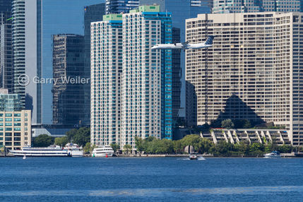
The Toronto waterfront along Lake Ontario spans 46 kilometres (28 miles) between the Rouge River in the east and the mouth of Etobicoke Creek in the west. Waterfront areas include Scarborough Bluffs, beaches, boardwalks, several parks and green spaces, biking and walking paths, several tourist attractions including the CN Tower and sports stadiums, wavedeck walkways, Toronto islands including an airport, hotels, restaurants, shops, a variety of apartment residences and private homes, bridges, rivers, creeks, industrial areas in the Portlands, educational institutions, Exhibition Place, yacht and rowing clubs, marinas, a lighthouse and much more. This gallery contains images I've created of some of the above locations. Hover over image for file number and description, click on image to enlarge.


